Klubus - Public Transport Departure Monitor App for the City of Klagenfurt am Wörthersee
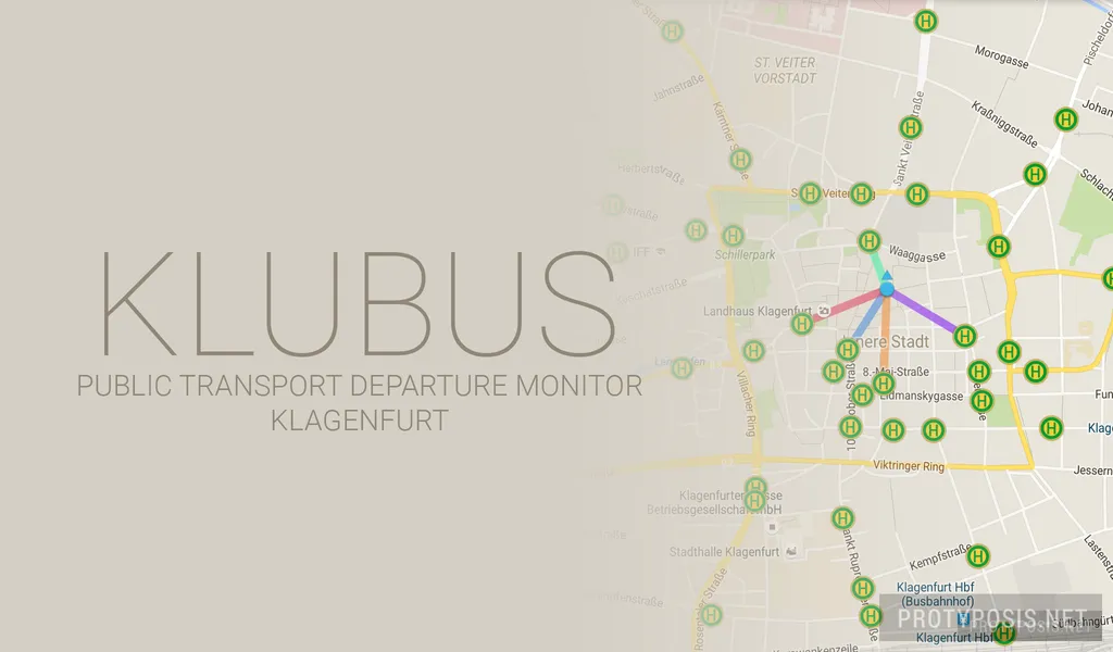
Klubus is a small and simple Android app to quickly check departure times at all public transport stops and stations across the City of Klagenfurt am Wörthersee, Austria. It is made for people who are familiar with the transport network and just want a quick and simple way to check the departure times, and is now available on the Play Store.
Developed in 2014 as a spin-off from the retired app Studentenportal, I was using it successfully since then. Now it received an update for Android 6.0 (Marshmallow API 23), some UI cleanup, a lot of bug fixes, and it is now published on the Play Store for free public use.
The public transport provider of Klagenfurt, Stadtwerke, unfortunately does not share its data with Google Maps and therefore has its own app available, Qando Klagenfurt. This app does the same as Klubus and some more (e.g. routing) and isn’t bad either. In fact, I’d recommend it to people who are not familiar with the transport network because of the convenient routing feature. So why does Klubus exist at all? I like it, and competition leads to innovation :)
Screenshots
-
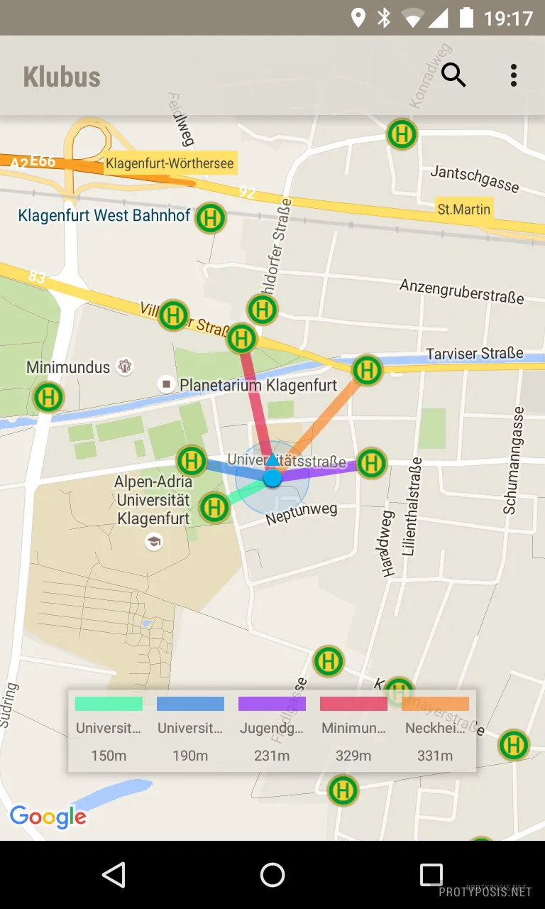
Map -
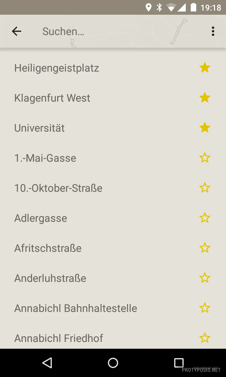
Stops -
Departures
Usage
At first start, you will be greeted with a welcome page and a disclaimer. If you have disabled location tracking, the app will ask you to enable it to display your current position on the map. From Android 6.0, it will also request the permission for location tracking, which you should allow for the location tracking to work. The app also needs Google Play Services to display the map with the public transport stops and your position. Without location tracking, the map will be shown and can be navigated manually. Without Google Play Services, a list of stops will be directly shown instead of the map.
The main screen of the app is the map view, showing all stops across the city, your current position, and the 5 nearest stops in color coding. Departures can be viewed by selecting a stop on the map or one of the 5 nearest stops in the overlay panel. The map can be navigated with the same standard gestures as other map apps. A long press on a position will set a manual location and also display its 5 nearest stops.
The stops screen displays a list of all stops, and can be opened and searched through the search button in the action bar. By pressing the star, stops can be defined as favorites that will always be shown at the top of the list for quick access. Selecting a stop will also open the departures for this stop.
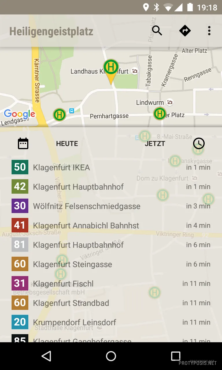
The departure view displays all upcoming departures at the current time. The list can be scrolled to the bottom and dynamically load further departures in the next 24 hours. A custom departure time and/or date can be set through the two buttons on the top of the list.

